
Herd Analysis
See exactly what’s using your ground — bucks, does, turkeys, and predators — mapped from the air with real thermal data instead of guesswork.
Manage Your Ground With Real Data
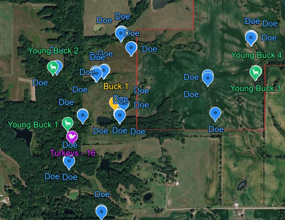
We run full-property thermal flyovers to count and age-class your herd, pinning bucks, does, and fawns on an aerial map of your land. Rather than relying on trail camera guesswork or a handful of daylight sightings, you get a complete picture of what’s actually moving across your property in a single night.
A herd analysis flight covers more than just deer. Along with your buck-to-doe ratio, we also track turkey numbers and predator activity on the property, so landowners and hunting clubs get a full wildlife picture — not just a headcount.
The result is a marked-up aerial map showing exactly where and what we found, giving you the information to make real management decisions: harvest goals, food plot placement, predator control, or simply knowing what’s really out there before season.
- Full buck-to-doe ratio for your property
- Turkey counts alongside your deer data
- Predator activity identified and mapped
- Age-classed bucks and does pinned on an aerial map
- Delivered as an easy-to-read map you can act on immediately
- Loaded into the Google Earth app on your phone, so you can pull it up anytime, anywhere
- Can’t make it out to the field? Watch the survey live on a computer, TV, or tablet with our livestream option
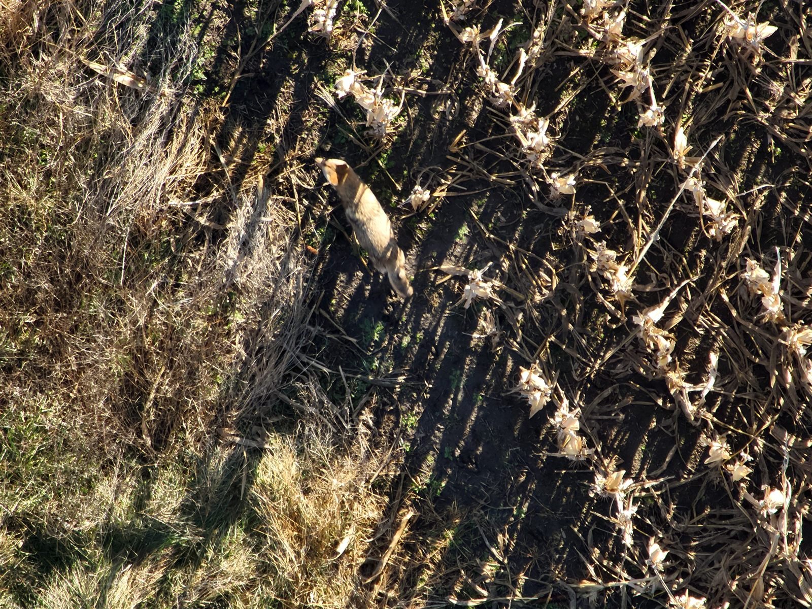
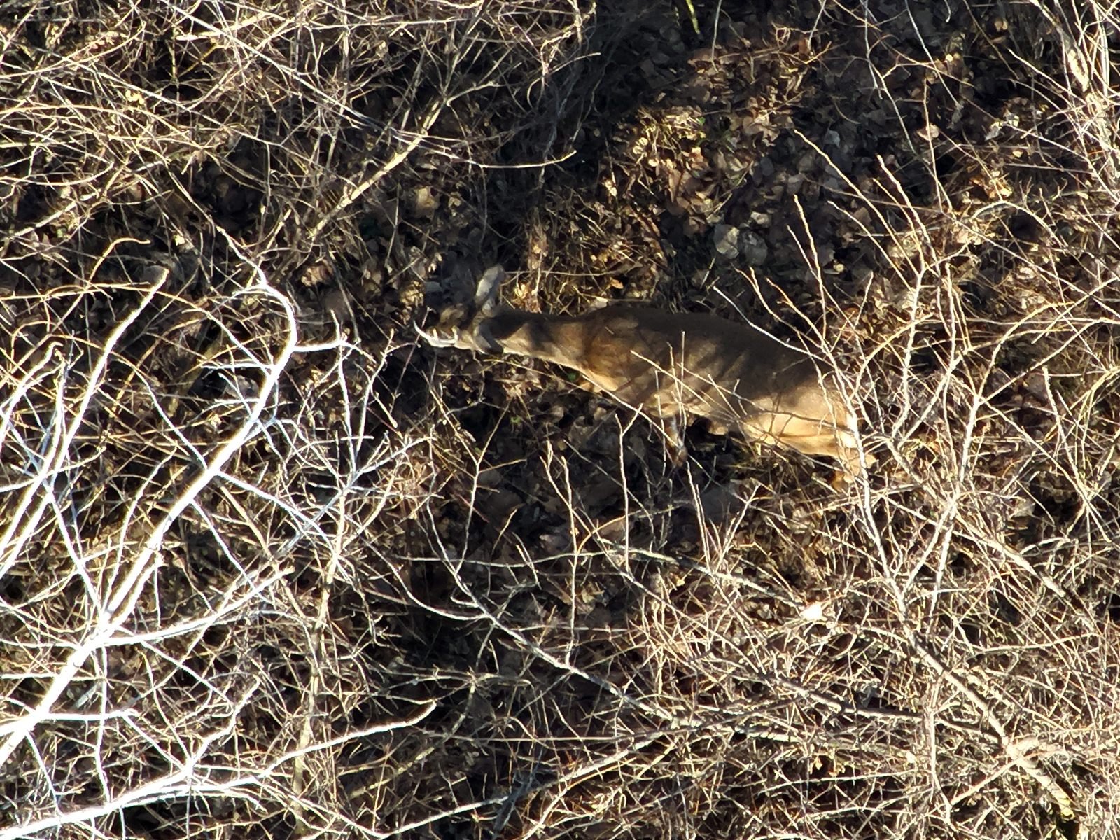
See It In Action
Watch a Sample Herd Analysis Flight
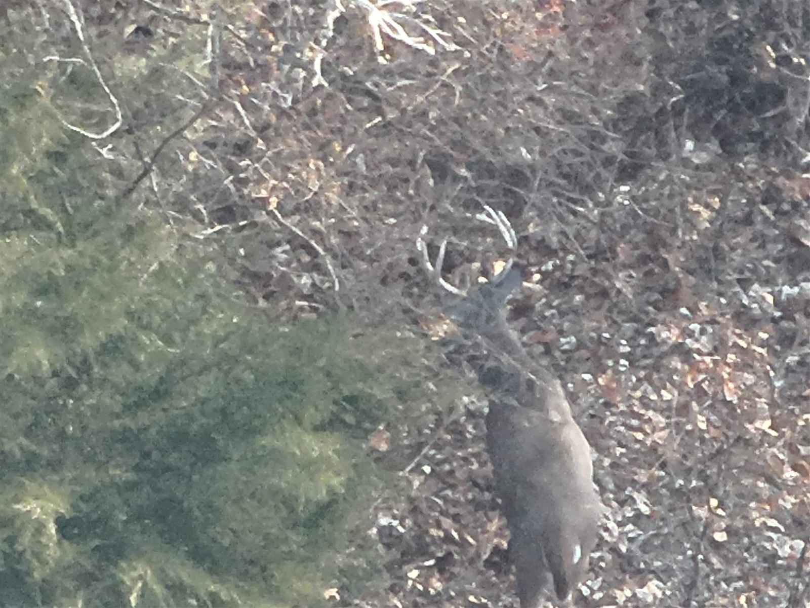
Real flight footage from a Recon1 herd analysis job. Tap play to watch — it’s a large file, so it only loads when you’re ready to watch it.
Request A Herd Analysis
Tell Us About Your Property
Fill out the form below and we’ll respond as soon as possible — or call/text us directly at (660) 223-8773.
Other Services
Explore More From Recon1
Get In Touch
Ready to See What’s On Your Property?
Reach out to schedule a herd analysis flight for your land.